
Information & Links to Sell & Swap & Other Resources
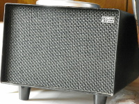

Favorite Rigs & Current Projects

Field Day 2013 - Statesboro, GA
Emergency Resources

Digital Modes
![]()
by The JavaScript Source
by Time and Date
KD4E Amateur Radio Resources
Favorite Rigs & Current Projects
Field Day 2013 - Statesboro, GA
Emergency Resources
Digital Modes
![]()
by The JavaScript Source
by Time and Date
